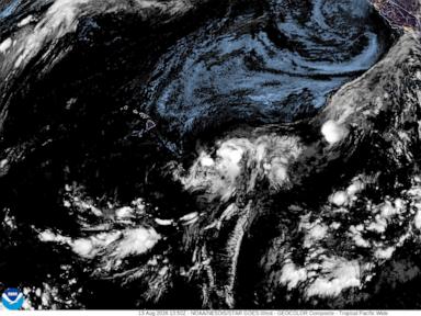
Every single weather outlet right now is losing its collective mind over Tropical Storm Lala. The sirens are wailing, the panic-mongers are flashing red warning graphics on your screen, and everyone is hyperventilating because the models show it crossing the magic threshold into hurricane status right before it hits the Big Island.
Stop checking the forecast cone every twenty minutes. You are sweating the wrong metric entirely.
The lazy consensus in mainstream meteorology coverage focuses entirely on peak wind speeds. They fixate on whether Lala crosses that arbitrary 74 miles-per-hour line to earn the title of Category 1. That is an amateur’s trap. Wind is loud, wind tears off cheap aluminum siding, and wind makes for great television footage of reporters standing sideways in raincoats. But wind is rarely the thing that destroys infrastructure or takes lives in these events.
The real danger of Lala has nothing to do with the wind badge it wears on arrival. It has everything to do with topography, asymmetric moisture distribution, and forward speed.
Let us look at the actual physics of what is happening in the Central Pacific. Air Force reconnaissance data shows that Lala’s wind field is profoundly lopsided. The deep convection is heavily biased toward the northern semicircle, while the southern half is starved. More importantly, as the system closes in on the islands, its forward velocity is going to slam on the brakes. A slow-moving tropical system interacting with massive volcanic terrain like Mauna Kea and Mauna Loa does not behave like a clean textbook diagram. It creates a localized mechanical lift that squeezes moisture out of the atmosphere like a wet sponge.
That is why the Central Pacific Hurricane Center’s note about potential twenty-five-inch rainfall maximums on the Big Island is the only data point that actually matters.
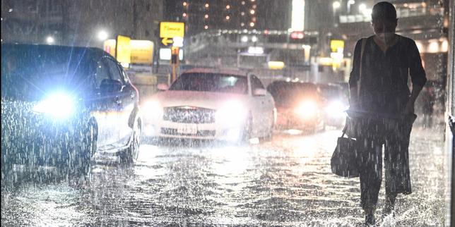
People are stocking up on plywood to board up their windows against wind gusts while completely ignoring the fact that water is going to cascade down the mountain slopes and wipe out bridges, roads, and lower-elevation homes. Imagine a scenario where a system barely registers as a low-end hurricane on wind velocity, yet drops enough water in thirty hours to trigger catastrophic flash flooding and massive mudslides across Hilo and the windward slopes. That is the real profile of Lala.
The obsession with the word "hurricane" is a linguistic distraction. It causes people in Maui County and Oahu to breathe a sigh of relief because they are under a tropical storm watch instead of a direct warning, ignoring the massive peripheral moisture bands and dangerous three-foot storm surges driven by extreme ocean heat content linked to ongoing equatorial Pacific anomalies.
If you want to survive this weekend without losing your mind or your property, throw out the Saffir-Simpson wind scale for a moment. Stop asking whether Lala hits hurricane strength.
Ask yourself how high your foundations are, whether your local drainage culverts are completely choked with debris, and how quickly you can move your family away from steep terrain if the rain gauge starts measuring accumulation in feet rather than inches. Clear your gutters, secure your critical supplies, and stop waiting for a wind speed number that completely misses the point of the storm.