Salt air stings the back of your throat even miles inland when a nor'easter rolls off the coast. If you have ever stood on a windswept pier in Maine, watched fog swallow a lighthouse in Brittany, or felt the Atlantic's heavy, relentless pulse against a seawall in Senegal, the ocean feels ancient and unmovable. Permanent. A vast blue noun that belonged to sailors long before anyone drew a border on parchment.
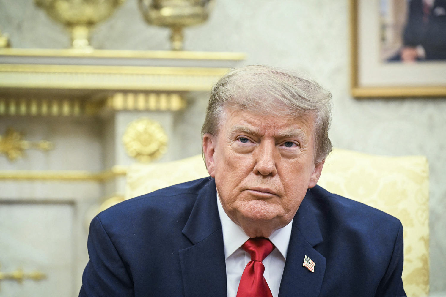
So when word broke that Donald Trump said he asked the head of Google to rename the Atlantic Ocean on Google Maps, a strange kind of whiplash hit people who spend their lives reading maps—and people who barely glance at them until they need a turn-by-turn route to a pharmacy.
Rename the Atlantic?
Just saying it out loud makes the tongue stumble. You can rename a conference room, a sports stadium, a city avenue, or even a mountain peak if enough ink and law back you up. An ocean is something else entirely. It stretches from the Arctic ice down toward Antarctica, washing against dozens of nations, carrying submarine fiber-optic cables, shipping containers, hurricanes, and centuries of memory.
Still, before you laugh it off as a headline meant to provoke, pause for a second. Look closely at what happens when political power meets a glowing screen.
A Phone Call About a Giant Blue Void
Imagine a quiet afternoon in a glass-walled office overlooking a parking lot in Mountain View, California. (That room and that conversation are hypothetical here, built to mirror how high-level tech conversations actually unfold behind closed doors, though the public claim that Trump asked Google's CEO to change a label on Maps is at the center of the story.)
Picture an executive staring at a monitor where the world spins in smooth, anti-aliased blue. A voice on speakerphone asks a question that sounds simple on the surface and quietly detonates five layers of cartography, diplomacy, and software engineering underneath: Why does it say that? Can't we change it on the map?
On a screen, changing text looks effortless. A product manager opens a string table, types a new name over an old one, pushes a build, and millions of phones light up with fresh labels by dinner time.
Nothing about geography works like a string table.
When I first started paying attention to digital maps years ago, I assumed cartography was settled science—like the boiling point of water or the length of a meter. You measure the earth, you name the features, and everyone looks at the same picture. Then I spent time talking with people who work with spatial data, and that tidy illusion cracked wide open. Maps aren't neutral mirrors of the planet. They are living arguments dressed up in blue ink and clean sans-serif type.
Consider what happens next when a leader asks a private technology company to alter a name on a global map. It forces a collision between two worlds that rarely speak the same language: sovereign authority and platform governance.
Why a Label on a Screen Carries Weight
Let's be honest with each other: it is easy to feel confused or even a little unmoored when basic geographical names become political talking points. You might wonder whether any of it actually matters if your GPS still gets you to the grocery store without putting you in a lake.
Fair question. And a candid answer requires admitting some uncertainty. Nobody outside a small circle knows every nuance of what was said, whether it was meant as a joke, a trial balloon, or a serious demand, or how a tech company would respond if pushed hard.
What we do know is how modern maps operate—and why a single word floating across an ocean is never "just a word."
Historically, naming bodies of water and land features has been bound up with power, navigation, and international norms. Bodies like the International Hydrographic Organization have long worked to standardize marine names so mariners, scientists, and governments share a common reference point. Even then, disputes over names are common around the world—from contested seas and islands to regional naming debates that spark diplomatic protests overnight.
Now layer Google Maps on top of that history.
Google Maps isn't a dusty atlas sitting on a library shelf. For billions of people, it is the default visual grammar of the planet. When a child looks up a continent for a school project, when a logistics coordinator tracks a cargo vessel, or when a journalist checks a location, the map shapes what feels normal.
That creates a delicate balancing act for any digital mapping service. Show one name everywhere, and you risk alienating governments or users who view that label as inaccurate or politically charged. Show different names depending on where the user is standing—a practice mapping platforms already use for certain disputed borders and contested names—and you turn a single globe into a patchwork of localized truths.
Suddenly, a question that sounded absurd at first glance starts looking like a stress test of who gets to define reality at scale.
Two Neighbors Looking at the Same Coastline
To see how a name change ripples outward into ordinary lives, meet two people who never met each other and never will. (Both are fictional composites drawn from real-world pressures that coastal communities and global workers face.)
In coastal North Carolina, Elena runs a small charter and marine-supply business out of a wind-scoured town where the sound meets the open water. Her days revolve around tides, barometric pressure, weather advisories, and charts. To Elena, the water outside the inlet isn't an abstract political symbol. It is where her livelihood lives, where sudden squalls build, and where clarity keeps people safe. If official charts, coast guard broadcasts, weather reports, and consumer apps suddenly start speaking in different vocabularies, friction creeps into places where friction is dangerous.
Across the ocean, in a flat in Lisbon, Tomás works remotely on international supply-chain software. Every morning he checks shipping routes, port delays, and weather systems crossing the basin between Europe and the Americas. For Tomás, a shared geographic vocabulary is the grease in the gears. When everyone calls the same vast expanse by the same name, databases talk cleanly, reports line up, and teams in different time zones stay on the same page.
Neither Elena nor Tomás asked to be part of a naming debate. Neither of them sits in Washington or Silicon Valley. Yet both of them depend on maps that stay steady when politics churns.
The Invisible Stakes Beneath the Waves
Why would anyone even bring up renaming an ocean in the first place?
Think about how politics works in an era of constant media noise. Naming is primal. If you name something—or rename it—you stake a claim on attention. Even if a request never turns into code, the mere mention forces everyone else to react, debate, and take a stand. It shifts the conversation from policy spreadsheets to symbols people can picture instantly.
That is the hidden leverage of a map label. It turns an abstract argument into a visual fact on a screen.
Yet there is a catch, and it is a big one. Maps have memory. Even when a platform updates a label in one region, older maps, scientific papers, maritime logs, books, and neighboring countries don't magically erase what came before. Pushing a unilateral change on a global feature can trigger pushback from allies, confusion in international bodies, and headaches for the very companies asked to carry it out.
A metaphor helps here. Think of a giant, shared ledger kept by a whole neighborhood where everyone writes down landmarks so nobody gets lost. One neighbor walks up and says, "Let's call the big oak tree by the creek the Freedom Pine from now on." Maybe a few people play along. Maybe the person holding the pen hesitates because half the street calls it an oak, the town surveyor has it logged as an oak, and changing it on one page without changing it anywhere else just makes people stop and ask why.
The ocean is that oak tree—except it covers roughly a fifth of Earth's surface and touches dozens of countries with their own histories and pride.
What Happens When Power Knocks on Code
When a president says he asked a tech chief executive to change a map, it also shines a harsh light on a modern power dynamic we rarely examine until a headline forces us to.
For decades, governments held almost all the cards when it came to official maps. A national cartographic agency printed the map, stamped it with authority, and sent it out. Today, private companies build the interfaces millions of people tap every single morning. Those interfaces pull from multiple data sources, follow complex internal policies, and weigh legal, diplomatic, and user-trust risks every day.
When a political leader asks a tech company to make a change, it tests whether a private platform will bend to political pressure, hold to existing standards, or find a middle path.
And look at the timing of our habits. Most of us no longer unfold paper maps on the hood of a car. We pinch and zoom with a thumb while waiting for coffee. Because digital maps feel effortless, we forget how much human judgment sits behind every label, border line, and pin drop.
When a headline makes you stop and ask how a name gets onto Google Maps, it does something useful: it pulls back the curtain on the machinery behind a tool you treat like air.
A Wider View From the Water's Edge
Stepping back from the political theater, another reality stands out. Oceans connect far more than they divide. Trade winds blow across them. Storms gather strength over them. Migratory birds and whales cross them without caring what any government prints on a chart.
For generations, people on opposite shores have looked out at the same horizon and felt both distance and connection—the ache of separation and the pull of trade, family, and adventure. Naming that space has always been a human attempt to put words around something almost too big to hold.
Maybe nothing comes of a request to rename the Atlantic. Maybe it stays a story people bring up at dinner tables, shaking their heads or trading sharp opinions about politics and Big Tech.
Either way, the next time you open a map and drag your finger across a stretch of deep blue, look past the blue pixels for a second. Think of the fishing boats rocking in the swell, the cables humming quietly on the seafloor, the diplomats reading briefings, and the quiet tug-of-war over who gets to put a name on the world.
Out past the breakers, the tide still comes in twice a day, answering to no one.