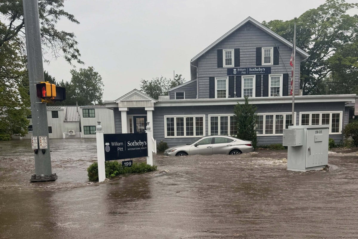
High-altitude cryospheric destabilization is rewriting macroeconomic risk models across South Asia. Conventional environmental journalism routinely frames glacial retreat through the lens of aesthetic loss or localized humanitarian tragedy. This approach obscures the structural mechanics at play. The accelerated melting of the Himalayan range introduces severe systemic vulnerabilities, turning transboundary river basins into high-frequency hazard zones and directly threatening downstream economic stability in India through capital destruction, supply chain fragmentation, and asset devaluation.
The Cryospheric Failure Mechanism
Cryospheric mass loss is governed by thermal forcing and localized atmospheric warming trends that outpace global averages. The physical mechanics of high-mountain degradation involve three distinct phases: ice mass reduction, permafrost thaw, and moraine-dam destabilization.
As glaciers thin, internal ice dynamics shift. Accumulated meltwater pools into supraglacial lakes held back by unstable debris walls. These moraine dams lack structural engineering; they are loose aggregates of rock, ice, and sediment. When seismic activity or sudden volume influxes occur, these barriers fail catastrophically. The result is a Glacial Lake Outburst Flood, a high-velocity surge of water, mud, and boulders that scours valleys and strips riverbanks of infrastructure.
The velocity of these events compresses response timelines from hours to minutes. Traditional flood mitigation relies on historical rainfall distributions and predictable monsoonal runoffs. Cryospheric collapse invalidates these hydrological models. Water volume is no longer a function of precipitation alone, but of thermal energy stored within retreating ice masses over decades.
Downstream Transmission Channels to the Economy
India economic exposure to Himalayan instability operates through three primary transmission channels: physical capital depreciation, agricultural disruption, and energy infrastructure impairment.
The northern and eastern plains of India function as economic engines supported by perennial river systems originating in the Himalayas. When catastrophic drainage events occur upstream in Nepal or Tibet, the destructive energy travels downstream across international borders.
Capital Depreciation and Infrastructure Shock
Transport corridors, national highways, and bridge networks connecting landlocked trade routes are structurally vulnerable. A single outburst flood can sever economic arteries, isolating regional markets and halting cross-border commerce. Rebuilding costs fall disproportionately on public balance sheets, diverting fiscal expenditure from productive capital investments to emergency rehabilitation.
Hydropower Vulnerability
The region's heavy reliance on run-of-the-river hydroelectric projects creates systemic operational risk. Siltation rates spike exponentially during glacial outbursts and excessive melt phases. High sediment loads destroy turbine blades, reduce reservoir storage capacities, and force unscheduled shutdowns. Energy generation forecasts become unreliable, introducing volatility into industrial power grids across northern manufacturing hubs.
Agricultural Yield Volatility
Agricultural productivity in the Indo-Gangetic plain depends on predictable meltwater contributions during the dry pre-monsoon season. While accelerated melting increases water volume temporarily, it transitions rapidly into terminal depletion as ice reserves shrink. This initial surplus followed by structural scarcity undermines crop yield stability, threatening food price inflation and rural purchasing power.
Institutional Adaptation Deficits
Mitigating transboundary cryospheric risk requires real-time data sharing, coordinated early warning architectures, and joint infrastructure planning. Current institutional frameworks remain fragmented along sovereign lines.
Hydrological data collection in high-altitude accumulation zones is sparse, creating blind spots in predictive modeling. India and upstream nations operate within legacy diplomatic structures that treat water resource management as a zero-sum geopolitical issue rather than an integrated operational risk. Without shared telemetry and coordinated basin-wide management, warning lead times remain insufficient to protect downstream populations and industrial assets.
Capital allocation must shift from reactive disaster response to predictive asset hardening. Standardizing infrastructure resilience indices for projects within high-risk corridors is essential to prevent compounding economic losses.